Nasa unveils AI tool to detect dangerous algal blooms from space
Nasa unveils AI tool to detect dangerous algal blooms from space
Nasa scientists have developed a new artificial intelligence tool capable of detecting harmful algal blooms in coastal waters, offering a major advance in the fight against one of the world’s most persistent marine hazards.
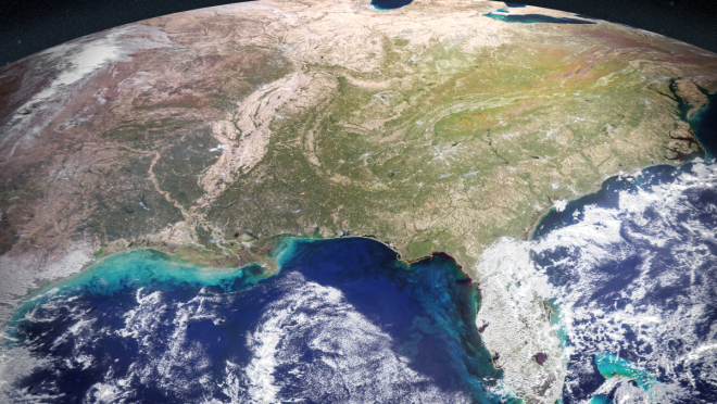
The technology, detailed in a recent study published in journal Earth and Space Science, combines data from multiple satellites to identify toxic algal outbreaks in western Florida and Southern California.
Harmful algal blooms have long threatened marine ecosystems, public health, and local economies. In Florida, the algae species Karenia brevis regularly fuels toxic red tides in areas such as Tampa Bay and Sarasota, killing marine life, polluting beaches, and causing respiratory illness in humans. Along the US West Coast, blooms of Pseudo-nitzschia have poisoned dolphins, sea lions, and other marine animals in recent years.
Health authorities currently rely on labour-intensive field sampling to monitor outbreaks, a process that can take days and often struggles to keep pace with fast-spreading blooms. Nasa researchers believe the new AI-driven system could dramatically improve early detection and help officials target testing more effectively.
“At the very least, a tool like this can help us know where and when to collect water samples as an algal bloom is starting,” said Michelle Gierach, a scientist at and co-author of the study.
The system analyses vast streams of satellite data gathered from five different space missions and instruments, including Nasa’s PACE satellite and the European Space Agency’s TROPOMI instrument. These satellites can detect subtle indicators of algal activity, such as pigment signatures and faint red fluorescence produced during photosynthesis.
To handle the enormous quantity of information, researchers created a self-supervised machine learning model capable of identifying patterns across multiple datasets without requiring pre-labelled examples. The AI was trained using satellite observations from 2018 and 2019, alongside field and laboratory measurements to verify its findings.
According to the study, the tool successfully identified and mapped harmful blooms — including specific species such as Karenia brevis — even in difficult coastal environments affected by sediment, vegetation, and runoff.
Nasa officials say the technology could eventually support a wide range of coastal industries and communities.
“Applying self-supervised AI to massive streams of satellite data is rapidly becoming a powerful tool for generating actionable ocean intelligence,” said Nadya Vinogradova Shiffer, lead programme scientist at.
Researchers are now expanding the system with additional satellite data and testing it in lakes and other waterways. The long-term goal is to make the technology available to decision-makers, helping sectors ranging from tourism to aquaculture respond more quickly to emerging environmental threats.
“The aim of this work is to start to bridge technologies to better serve end users and their needs,” said Kelly Luis of Nasa’s Jet Propulsion Laboratory. “To do that, we’re going to bring all our Nasa assets to the table.”